Vanished Raleigh
Photographs by Elizabeth Reid Murray
See also Hidden Raleigh and
Historic Raleigh (in Postcards)
Courtesy Elizabeth Reid Murray Collection at Olivia Raney Local History Library in Raleigh, North Carolina - See file name for library reference number
 |
 |
 |
 |
|||
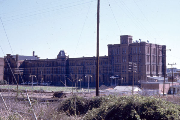
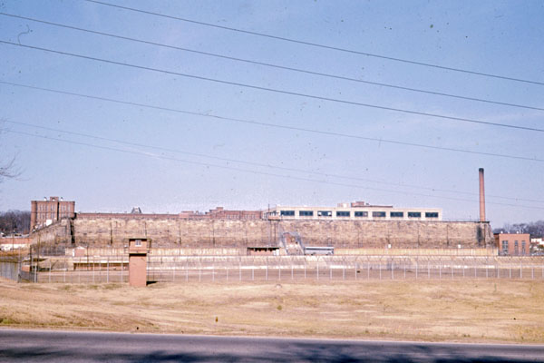
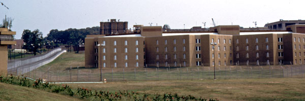
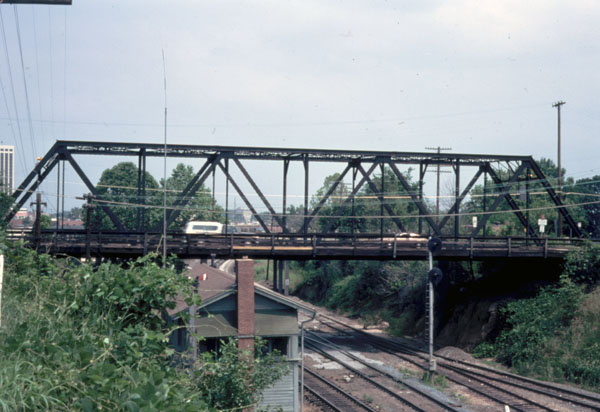
| Central Prison, Morgan Street, looking southeast, from curve of Morgan Street, 1971 | Central Prison, Morgan Street, looking north from Western Boulevard, 1971 | State Prison with new buildings in foreground, 1983 | Boylan Avenue Bridge, "Gallows Hill", 1978 | |||
 |
 |
 |
 |
|||
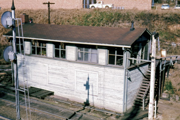
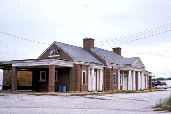
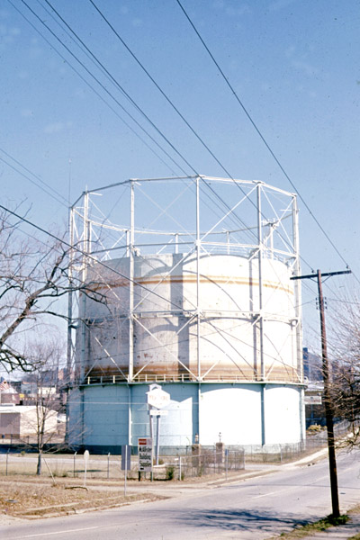
| Switchhouse below Boylan Avenue railroad bridge, viewed from bridge looking northwest, 1970 | Southern Railroad Station, 1974 | Gas tanks, W. Cabarrus Street, looking northeast from corner W. Cabarrus and Florence streets, 1971 | Gas tanks on Cabarrus Street, 1974 | |||
 |
 |
 |
 |
|||
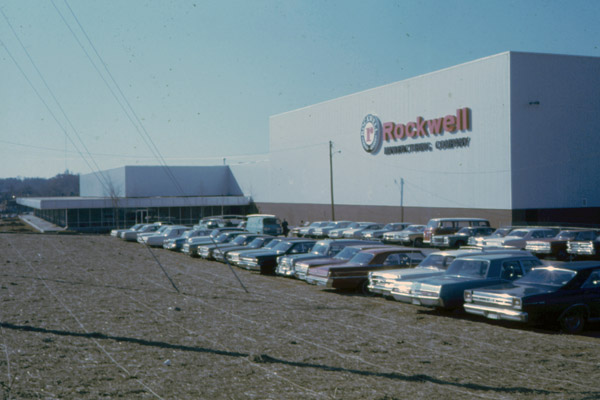
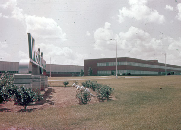
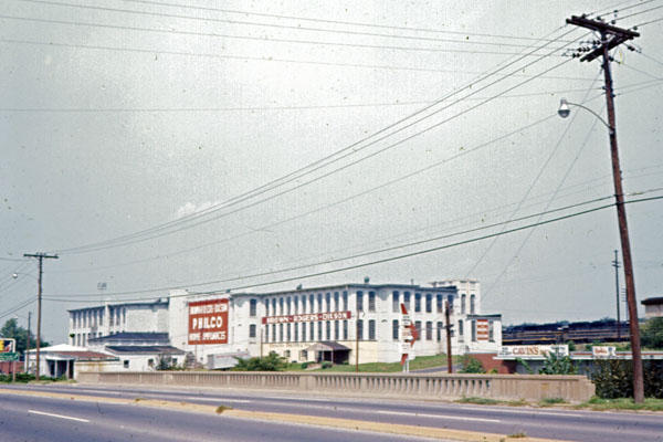
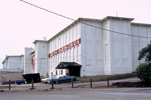
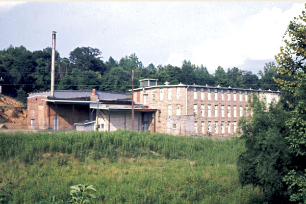
| Rockwell Plant | Westinghouse Plant, Highway 1 North | Raleigh Cotton Mills building, 614 Downtown Boulevard, then Browns-Rogers-Dixson, distribution center for Philco Products, 1971 | Raleigh Cotton Mills building, 614 Downtown Boulevard, 1983 | |||
 |
 |
 |
 |
|||
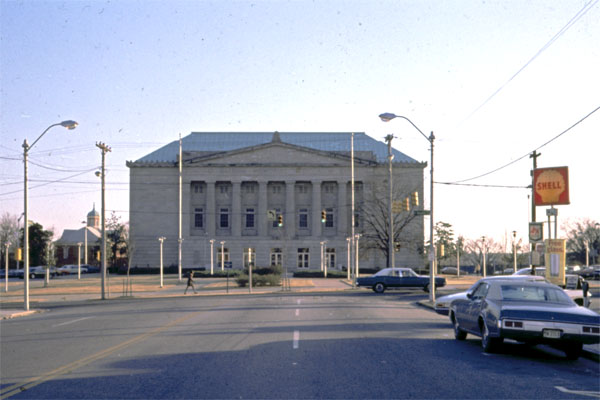
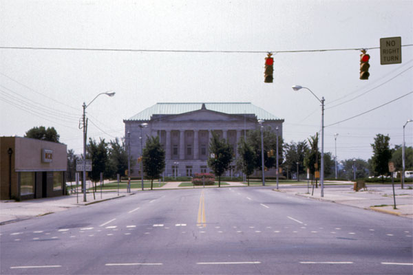
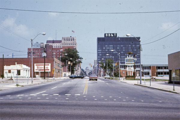
| Memorial Auditorium on South Street on last block of Fayetteville Street. Building faces north. Photo looks south from Fayetteville Street, 1969 | Memorial Auditorium, 1975 | Looking north on Fayetteville Street from Civic Center site, 1975 | Fayetteville Street looking south, 1975 | |||
 |
 |
 |
 |
|||
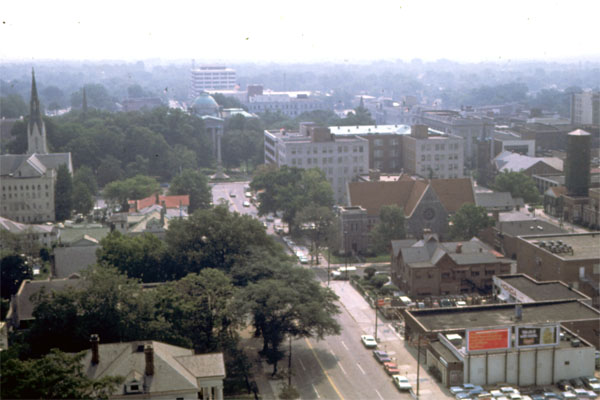
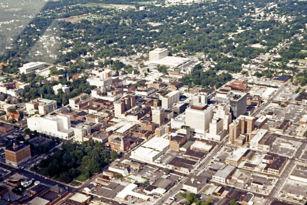
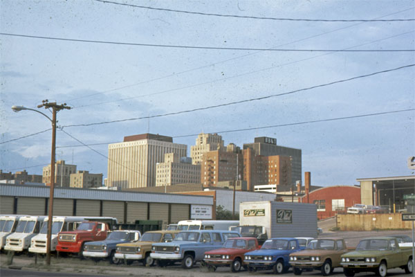
| Fayetteville Street, 1961 | Looking southeast from top of Holiday Inn on Hillsborough Street, 1969 | Looking southeast from top of Holiday Inn on Hillsborough Street, 1969 | Downtown from the air (small plane) from about 1200 feet; from west of center, looking east, 1971 | |||
 |
 |
 |
 |
|||
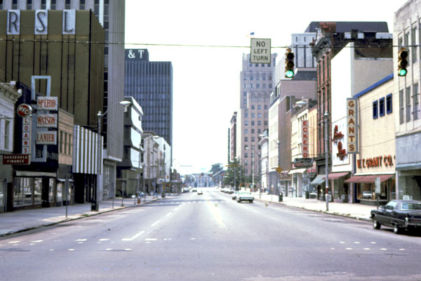
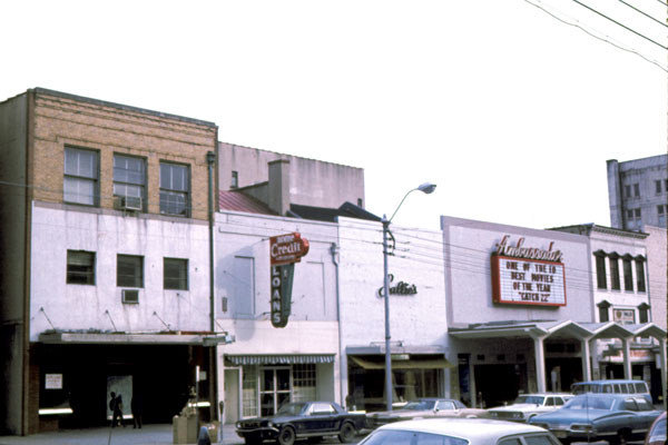
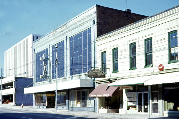
| Looking southeast across Fayetteville Street, 19th Century buildings. Left back corner is Justice Building, 1971 | Fayetteville Street, 1972 | Artsplosure on Fayetteville Street Mall. Second block, looking southeast, 1980 |
Fayetteville
Street Mall Dedication, 1977 |
|||
 |
 |
 |
 |
|||
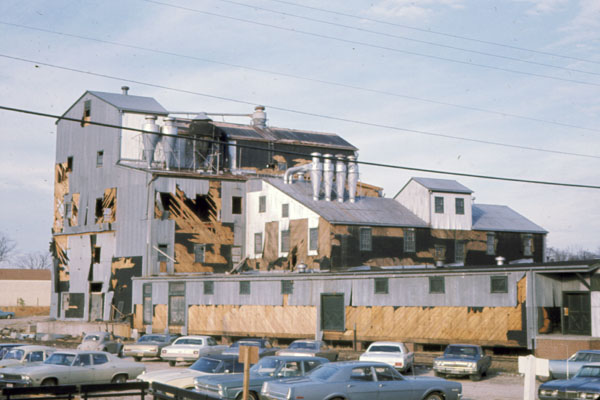
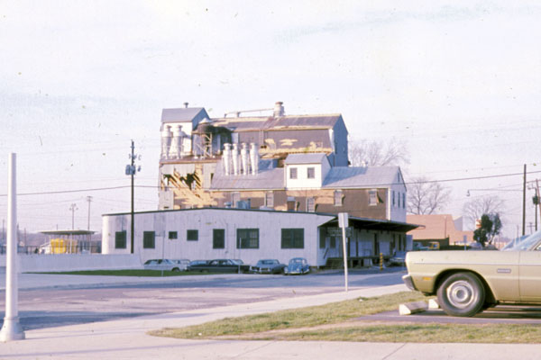
| Wake Farmers Cooperative Inc., N. Salisbury Street, feed mill, west side, 1971 | Wake Farmers Cooperative Inc., N. Salisbury Street, feed mill, from porch of Albemarle Building, 1971 | Wake Farmers Cooperative Inc., N. Salisbury Street, feed mill, looking northwest from Lane and Salisbury streets, 1971 | Civic Center, 1978 | |||
 |
 |
 |
 |
|||
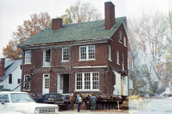
| Seaboard Office Building (rear elevation, toward Salisbury Street), from Lane Street, looking southeast, 1971 | Seaboard Railroad office moving, 1977 | House moved from Hillsborough St to new site, 1977 | Dr. James R. Rogers house, 130 Hillsborough, at McDowell Street, 1973 | |||
 |
 |
 |
 |
|||
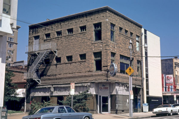
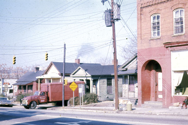
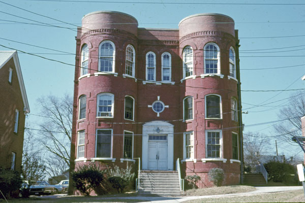
| Beckwith House in first block of North Dawson Street, behind Rogers house, 1973 | State buildings on Caswell Square, (former?) Deaf and Blind Institution, 1970 | Hotel Park Central at 223 S. McDowell Street, front view, from south sidewalk of W. Martin Street, looking northeast, 1970 | Globe Clothing Store Building, closed. Looking northwest across Wilmington Street, 1980 | |||
 |
 |
 |
 |
|||
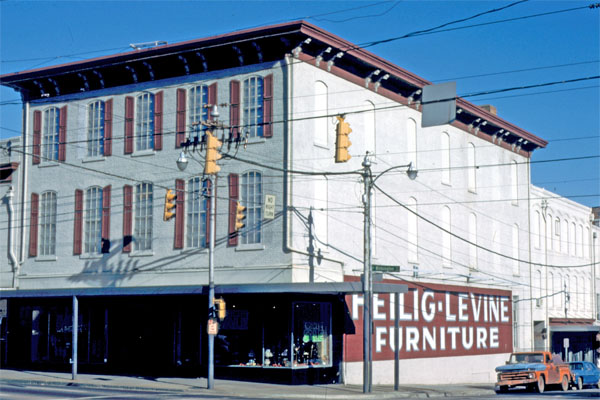
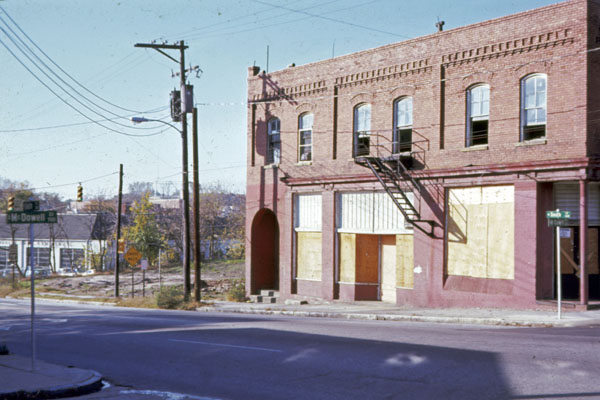
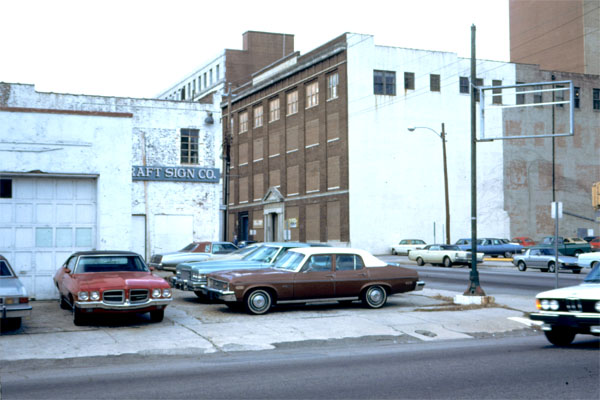
| Heilig-Levine Bldg. Looking northeast from across intersection, 1980 | Barber & Fowler Building, built 1909, 100 block of E. Hargett Street [correct address is Martin Street?], north side, 1973. | Corner of South and McDowell streets, 1972 | Early Office Building 208 South Street, looking northwest, from corner South Street, 1971 | |||
 |
 |
 |
 |
|||
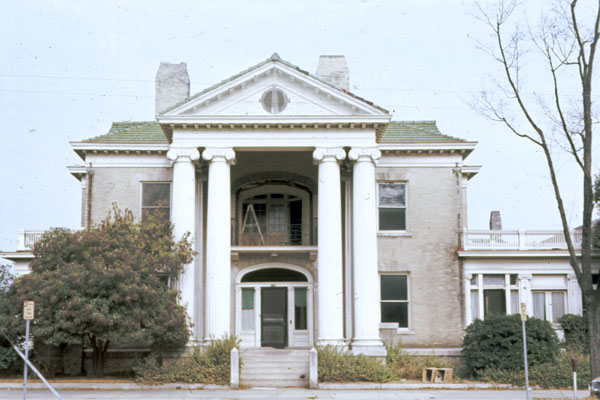
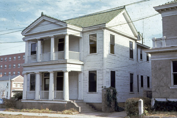
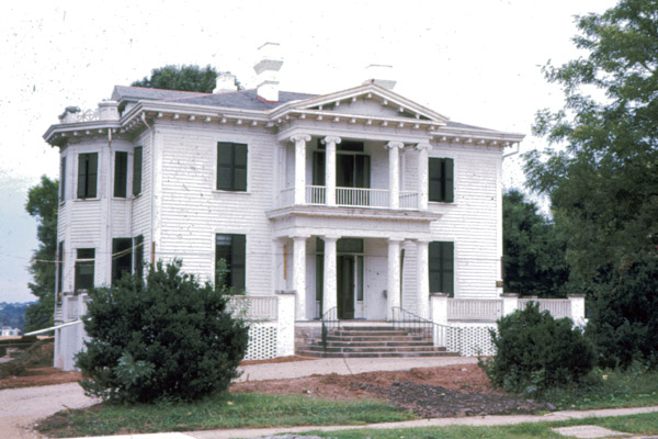
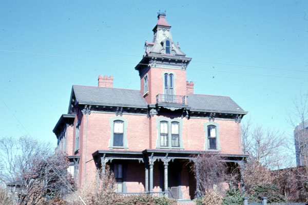
| Lewis-Smith House, 1974 | Hawkins-Hartness House 310 N. Blount, west/front facade, looking east, 1972 | Leonard Medical School, 1972 | Dodd-Hinsdale House Hillsborough Street, south/front facade looking almost due north, 1972 | |||
 |
 |
 |
 |
|||
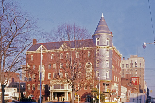
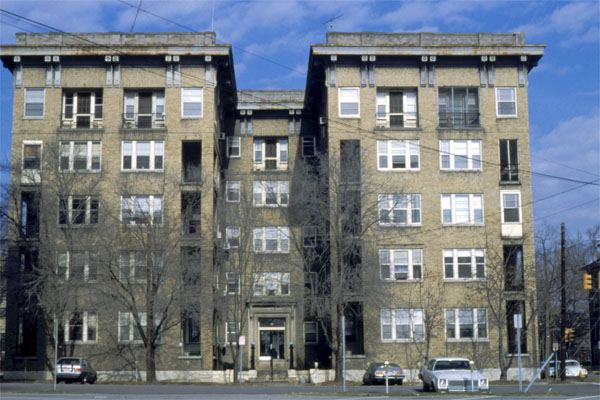
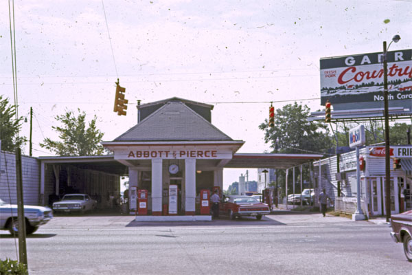
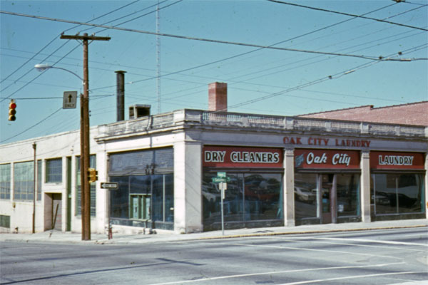
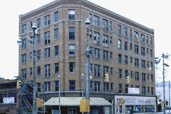
| Capital Apartments on New Bern Avenue, front of building. Looking north from state parking lot at corner of E. Morgan and S. Blount streets, 1980 | Abbott & Pearce Service station on Hillsborough St., at south terminus of Glenwood Avenue. Looking looking directly south, from middle of Glenwood Avenue, 1971 | Oak City Laundry & Dry Cleaning at 436 S. Salisbury Street. Looking northwest from diagonally across intersection of Salisbury and Cabarrus streets, 1972 | Andrew Johnson Hotel, northwest corner of Salisbury and Martin streets, 1976 | |||
 |
 |
 |
 |
|||
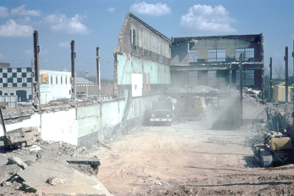
| Raleigh skyline, looking northeast from Harrington and Lenoir streets, 1974 | Bethel Church, looking northwest from corner of Blount and Morgan streets, 1979 | CP&L Building excavation on Fayetteville Street, looking east, 1976 | Downtown Boulevard looking north, 1972 | |||
 |
 |
 |
 |
|||
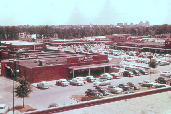
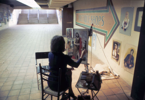
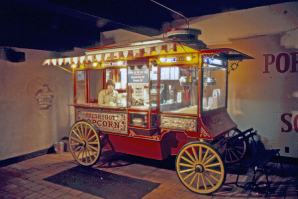
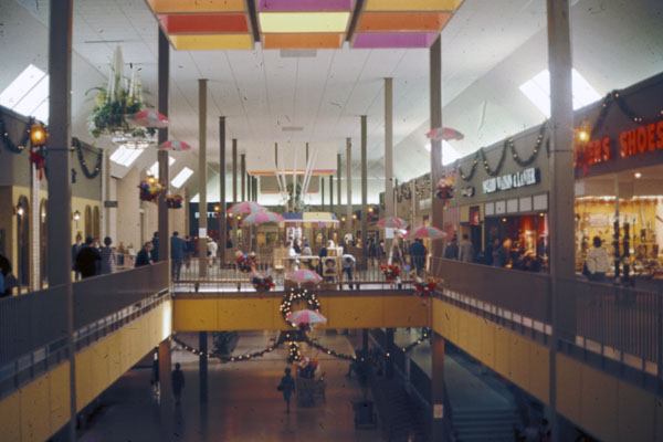
| Cameron Village, 1961 | Cameron Village | Cameron Village Underground, 1960s | Cameron Village Underground, 1960s | |||
 |
 |
 |
 |
|||
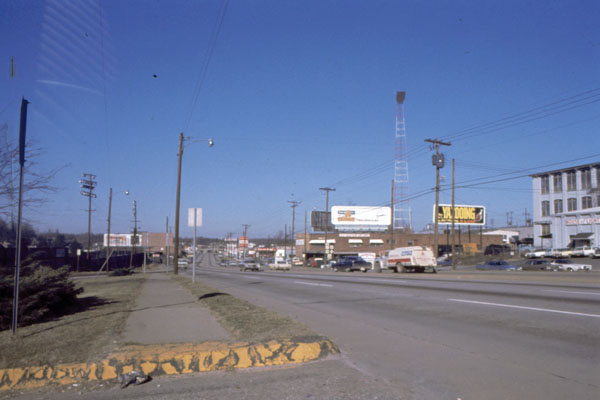
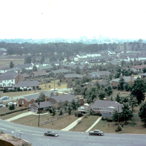
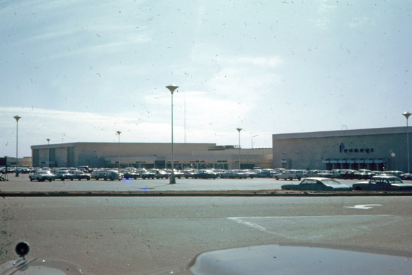
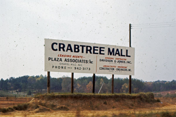
| Cameron Village Underground, 1960s | North Hills Mall, 1968 | North Hills Mall, 1968 | Crabtree Valley before shopping center opening, 1968 | |||
 |
 |
 |
 |
|||
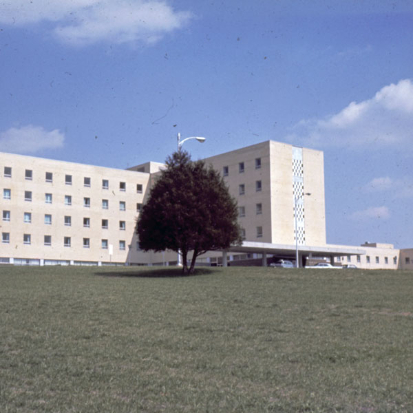
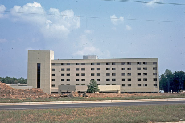
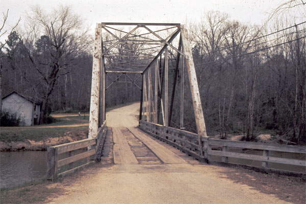
| Wake Memorial Hospital | Rex Hospital on Blue Ridge Road just prior to dedication on September 20, 1980. Viewed from from across Blue Ridge Road | Milburnie Dam / Raleigh Beach | Lassiter's Mill bridge, 1973 | |||
 |
 |
 |
 |
|||
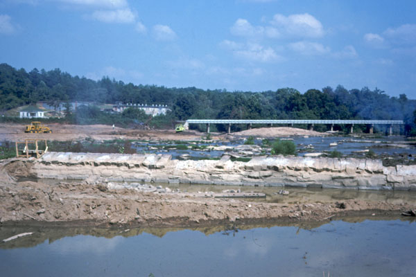
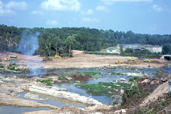
| Mill at Falls of Neuse, east of Falls of Neuse Road and north of river, 1968 | Falls of Neuse dam construction, 1978 | Falls of Neuse dam construction, 1978 | Shearon-Harris nuclear power plant construction | |||
 |
 |
 |
||||
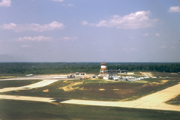
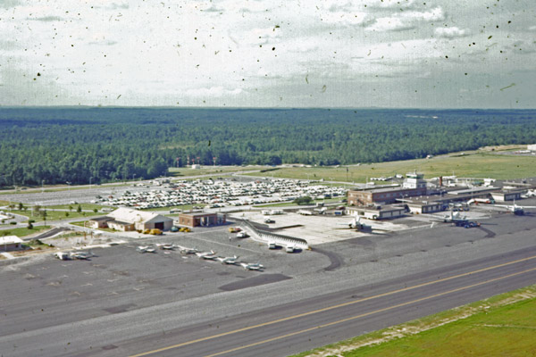
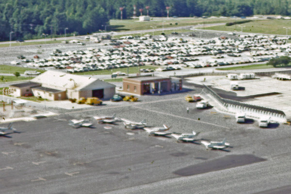
| Raleigh-Durham Airport, 1954 | Raleigh-Durham Airport, 1971 | Raleigh-Durham Airport, Closer View, 1971 | ||||
|
|
||||||
|
|
||||||
|
Home
Copyright 2023 by Michael J. Legeros |
||||||